

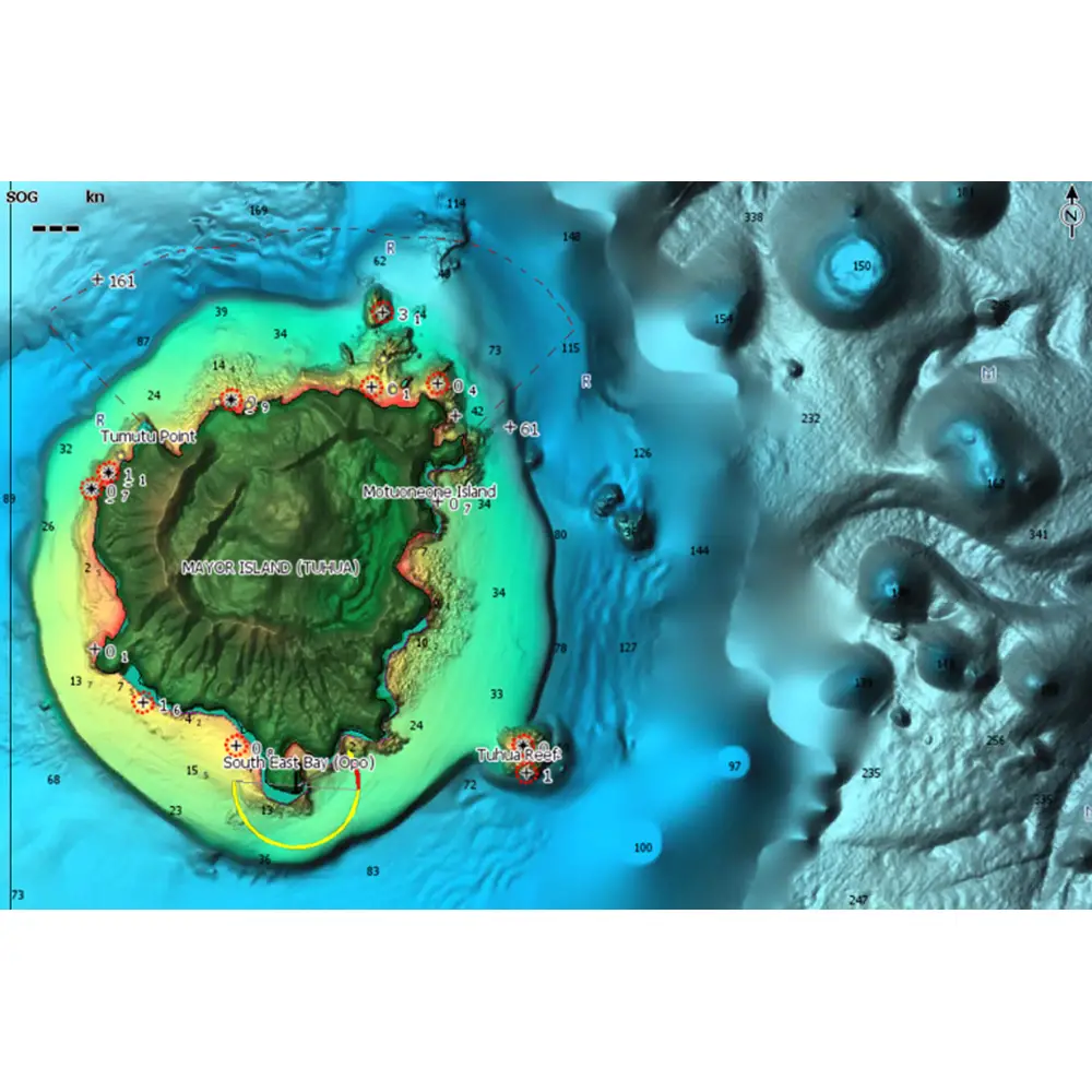
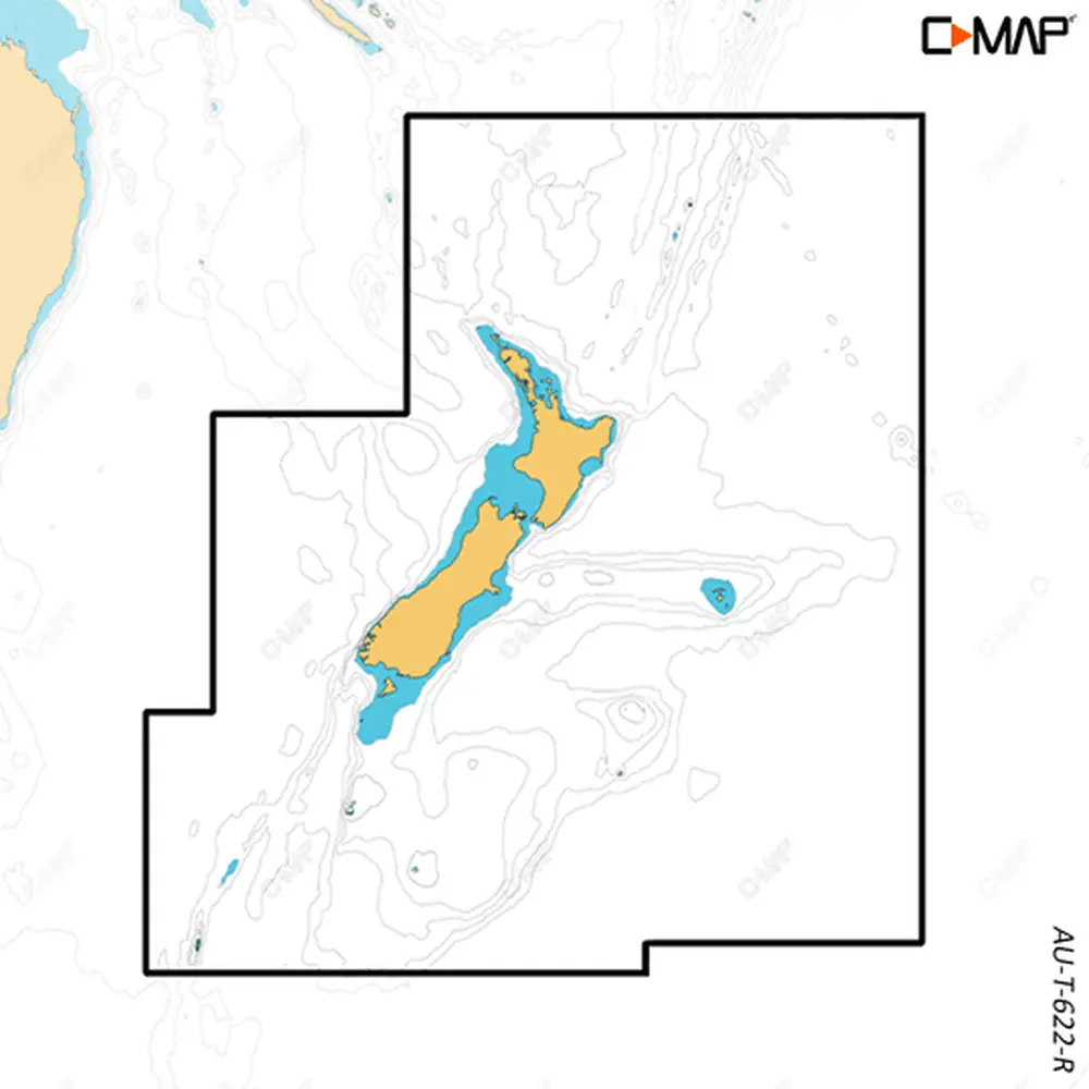
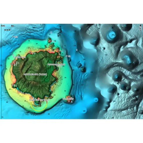
Whether cruising, fishing or sailing, C-MAP® REVEAL™ charts offer the very best of C-MAP. With Shaded Relief, including game-changing Reveal Seafloor Imagery, Aerial Photography, Satellite Overlay added to the core C-MAP features found in DISCOVER™ – full-featured Vector Charts, with Custom Depth Shading, Tides & Currents and subscription-free Easy Routing™. It also includes the very best of C-MAP High-Res Bathymetry, including integrated Genesis® data.
C-MAP REVEAL – New Zealand
$186.60 USD
In stock
In stock
Description
Purchase includes 12 months of free online updates. Compatible with Lowrance, Simrad & B&G Chartplotters.
Shaded Relief – bring the world around you to life with 3D rendered land and underwater elevation, including areas of ultra-high resolution – a game-changer for anglers and divers
Satellite Overlay – feel better connected to your surroundings when you find yourself in an unfamiliar place
New Map Inspector Tool Quickly access the information you need, with a simple touch of the screen
Tides & Currents – detailed projections of water level and tidal data to help you plan your day out
Detailed Marina Port Plans – docking in an unfamiliar port is no problem when you have precise layouts of thousands of marinas, including slip spaces, restricted areas, and other vital information
You may also like…
-
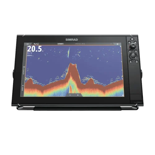
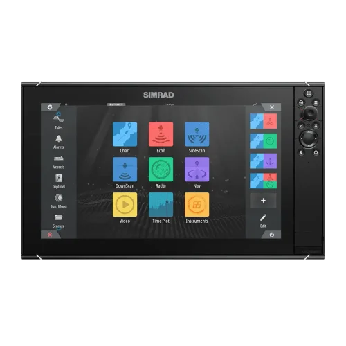
Simrad NSS Evo3S 16″
Product Code: SIMNSSE3S16
-
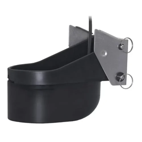
Simrad / Lowrance TM275LH-W Transducer
Product Code: LOW-TM275LH-W
Related products
-
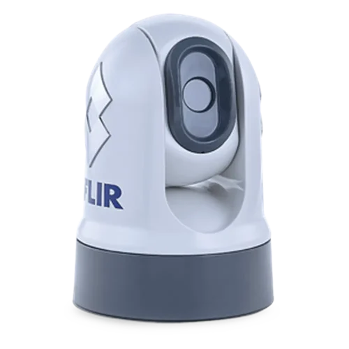
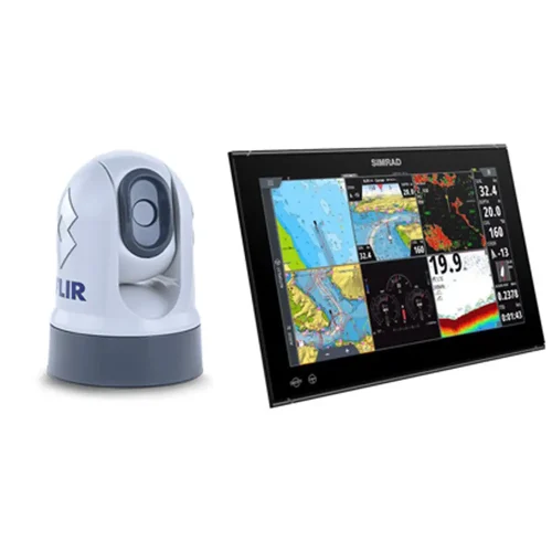
Simrad NSS Evo3 ‘S’ 16″ package with FLIR M232
Product Code: 8868
-
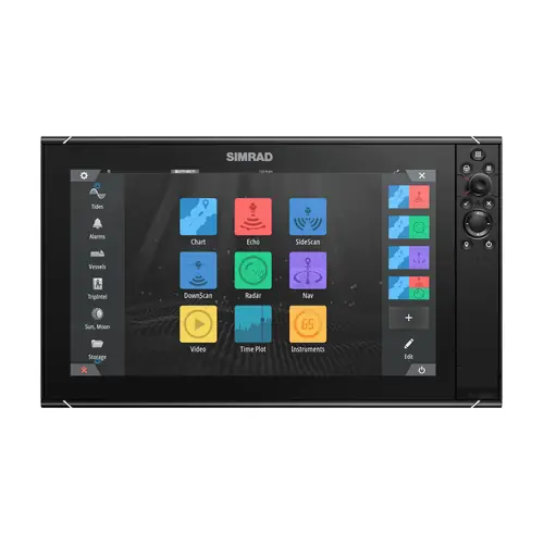
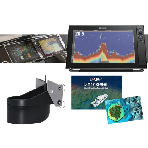
Simrad NSS Evo3S 16″ + TM-275LH-W + Cmap Reveal
Product Code: SIM16-PACK
-
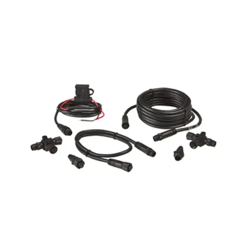
Lowrance NMEA2000 Starter kit
Product Code: 000-0124-69
-
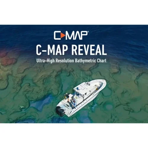
C-MAP REVEAL X – New Zealand
Product Code: M-AU-Y622-T
-
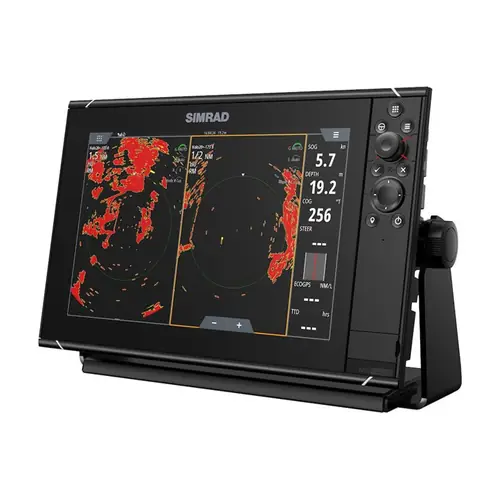
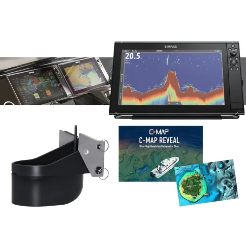
Simrad NSS Evo3S 12″ + TM-275LH-W + Cmap Reveal
Product Code: SIM12-PACK